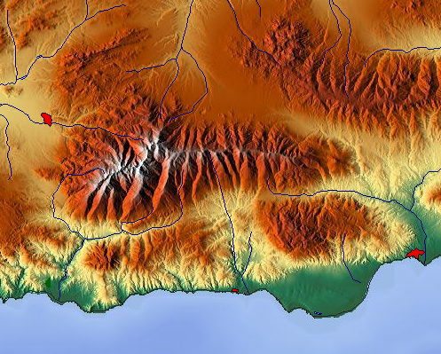
Digital elevation models are maps which artistically depict the shap of terrain. They are based on information derived from raster-format maps. This map of the Sierra Nevadas is a DEM.
http://upload.wikimedia.org/wikipedia/commons/c/c4/Maps-for-free_Sierra_Nevada.png
No comments:
Post a Comment